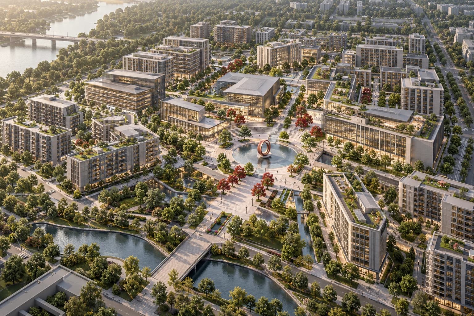
Commons District
Segal ArchitectureMixed-use master plan
A district organized around the life between its buildings.
What you get.
Segal Architecture
Commons District connects development parcels through a coherent structure of streets, public space, landscape, and infrastructure. Commercial uses, homes, and civic amenities belong within a spatial strategy that gives each part a useful relationship with the rest. The plan connects density, land use, movement, and utilities with a sequence of development. The first phase can have its own identity and daily life while preserving the connections needed for the larger district to grow around it.
Public realm
Streets, squares, and landscape form the shared structure of the plan.
Parcels
Land use and development envelopes connect to infrastructure.
Phasing
The delivery sequence follows access, services, and the investment brief.
Neighborhood district
Reference planning area: 25 hectares. Brief basis: Proposed commission envelope. Deliverable scale: Client- and site-specific design packages
Connected district
Reference planning area: 75 hectares. Brief basis: Proposed commission envelope. Deliverable scale: Client- and site-specific design packages
Large-scale district
Reference planning area: 150 hectares. Brief basis: Proposed commission envelope. Deliverable scale: Client- and site-specific design packages
In Architecture
10 / 20
Build the frontier
with us.
Share the objective, the requirements, and the business you want to reach. Project and partnership enquiries all come through the same form.
Discuss a Project